"Due to the difficulties in measuring atmospheric phenomena between 80 and 120 km, we sometimes call this region 'the ignorosphere'," says Minna Palmroth, Professor of Computational Space Physics at the University of Helsinki and the lead author of the study.
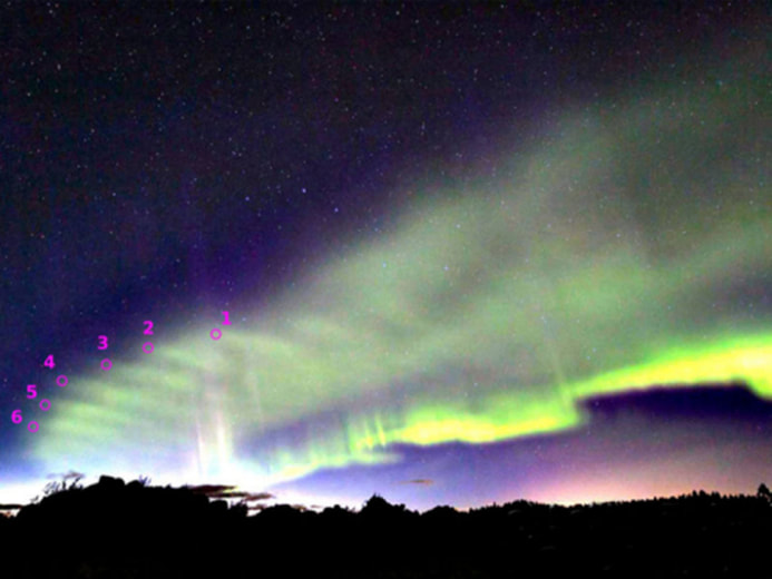
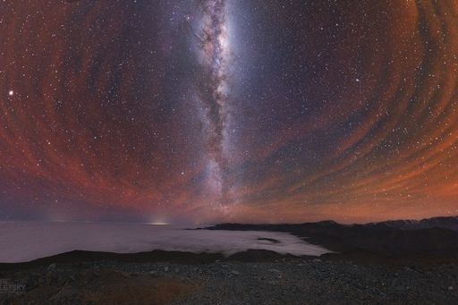
Sky watchers in the Arctic have been seeing Dunes for years without understanding what they were. A breakthrough came on Oct. 7, 2018, when multiple groups photographed the dunes from widely separated locations in Finland. Maxime Grandin, a postdoctoral researcher in Palmroth's team, analyzed the images, using triangulation techniques to decipher the Dune's geometry.
Conclusion: Dunes are located ~100 km high--smack-dab in the middle of the ignorosphere--and have a pure, monochromatic wavelength of about 45 km.
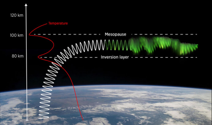
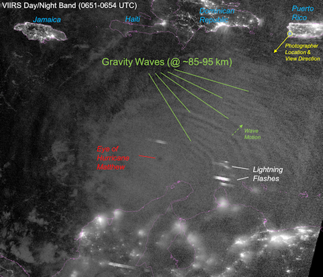
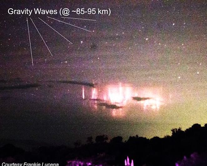
The research team believes the Dunes are a "mesospheric bore"--a type of atmospheric gravity wave that springs up from the surface below and gets caught in a thermal waveguide ~100 km high. When solar wind particles rain down on the bore, they illuminate its rippling structure.
The discovery of Dunes may allow researchers to study the ignorosphere as never before. Monitoring Dunes can reveal previously hidden waves and waveguides at the boundary between Earth and space. Aurora photographers, have you seen a Dune? Submit your photos here.
www.spaceweather.com




 RSS Feed